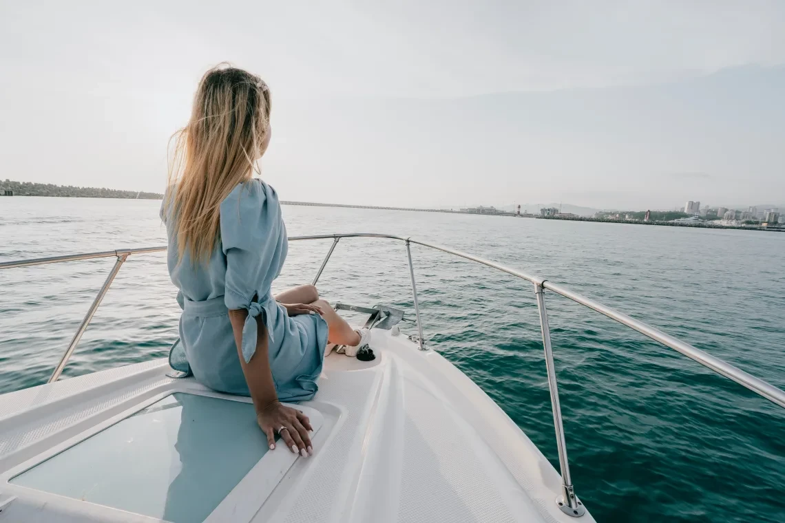
The open sea is never entirely stationary. Every mile of ocean travel involves navigating dynamic physical forces that shape sea state, boat speed, and structural safety. While modern satellite communication and onboard computers deliver exceptional forecasting precision, interpreting how atmospheric pressure, localized currents, and daily tidal cycles interact in real-world conditions remains an essential pillar of seamanship. Mastering these elements allows skippers to transform potentially hazardous passages into smooth, efficient transits.
Decoding the Atmosphere: Barometric Trends and Wind Dynamics
Offshore weather forecasting begins with the barometer. While downloaded forecast models provide a general blueprint, your onboard barometric pressure readings tell you exactly what is happening to the air mass directly above your masthead.
A steady, gradual drop in barometric pressure over twenty-four hours indicates the broad approach of an extensive low-pressure system or warm front. Conversely, a sudden plunge of three or four millibars within a three-hour window signals immediate volatile weather, such as an intense squall line, a frontal depression, or rapid gale formation.
When observing wind behavior, remember that winds rarely blow along straight lines. Surface friction against coastlines, thermal contrasts between sea and land, and Coriolis forces constantly refract air currents. Recognizing wind shear and observing cloud structure (such as high cirrus streamers curling into cirrostratus shields) alerts watchkeepers to incoming weather changes hours before surface winds pick up.
Protecting your vessel during high-wind encounters depends on reliable deck hardware. Sourcing robust boat accessories such as heavy-weather preventers, durable winch handles, and low-friction sail tracks ensures your crew can shorten sail safely without placing excessive strain on the standing rigging.
Tidal Streams and Currents: Harnessing Moving Water
Tides are governed by the gravitational pull of the moon and sun, but their practical expression on the water varies dramatically by geography. In broad ocean basins, tidal ranges remain subtle. Near continental shelves, shallow straits, and constricted bays, however, moving water accelerates into formidable tidal streams that easily exceed the cruising speed of most recreational vessels.
- Calculating the Rule of Twelfths: In regions experiencing semi-diurnal tides (two highs and two lows daily), water does not rise or fall at an even speed throughout the six-hour cycle. The Rule of Twelfths dictates that tidal volume moves fastest during the third and fourth hours, shifting half of its total volume in that central two-hour window.
- Understanding Wind-Against-Tide Sea States: The most hazardous sea conditions often occur not during severe gales, but when strong winds blow directly against an opposing tidal current or oceanic stream. This conflict stands waves on end, creating steep, breaking walls of green water that can swamp cockpits and dislodge deck gear.
- Accounting for Ocean Current Conveyor Belts: Prominent oceanic currents, such as the Gulf Stream or the Agulhas Current, produce significant temperature shifts and aggressive wave conditions when crossed during opposing winds. Plotting tracks to ride the beneficial axis of a current can add knots to your speed over ground, saving engine hours and conserving fuel.
If you are passage-making along the Atlantic shores of Galicia or navigating the challenging tidal waters of the Strait of Gibraltar while sailing in Spain, equipping your vessel with certifiedaccesorios náuticos from dedicated Spanish marine retailers gives you dependable, immediate access to high-grade anchoring lines, depth transducers, and navigational plotters calibrated for European waters.
Strategic Passage Planning Around Hydrodynamic Gates
Navigating areas with extreme currents or narrow passes requires identifying hydrodynamic gates. These are geographic bottlenecks where safe transit is only possible during narrow windows of slack water, when the flood stream ends and the ebb has not yet developed full force.
Attempting to force an entrance against a six-knot current burns excessive diesel and subjects running gear to extreme thermal loads. Worse, it reduces rudder responsiveness, leaving the vessel vulnerable to eddies and overfalls that can spin a hull off its heading. Build your daily passage timeline backward from the hour of slack water at the critical bottleneck, adjusting departure times and engine speeds to arrive at the entry point precisely on schedule.
Essential Instrumentation and Redundant Monitoring
Modern navigational electronics make monitoring environmental conditions far more accessible than in past decades, but electronic instruments must be cross-referenced with continuous manual observation.
Your primary navigation console should display real-time Speed Through Water (STW) alongside Speed Over Ground (SOG). A significant discrepancy between the two reveals immediately whether an invisible current is assisting your passage or draining your momentum. Depth sounders must be calibrated carefully to account for keel draft, and alarms should be configured to sound well before the vessel drifts toward shifting sandbanks or shallow coastal shelves.
To safeguard your electronics and navigation platform in salt-laden ocean air, maintaining reliable marine supplies – including waterproof junction boxes, corrosion inhibitors, high-sensitivity GPS antennas, and marine-grade display cleaning kits – ensures your critical monitoring instruments continue delivering accurate data through dense fog and heavy spray.
Working with Natural Forces
Successful marine voyaging is never a battle against the elements; it is an exercise in active cooperation. Trying to overcome strong currents or driving head-winds through raw horsepower is inefficient, stressful, and mechanically costly. By observing barometric trends, calculating tidal streams with mathematical precision, and planning movements around natural current cycles, you allow the natural dynamics of the sea to protect and propel your boat toward safe harbor.

Elara Quinn is a digital communication writer specializing in emoji meanings, online messaging, and internet culture. She creates clear, accurate, and reader-friendly content that helps readers understand emojis, symbols ,and modern digital communication. Her goal is to make online conversations easier through practical ,easy to follow guides and reliable information. Elara is passionate about creating helpful content that keeps readers informed about the latest digital communication trends.